
Kyoto & Lake Biwa Cycling Route – Rider Stories
Con carriles bici frente al mar, escarpadas carreteras de montaña en el norte, numerosas zonas para nadar, unos paisajes impresionantes, santuarios y mucho más, el lago Biwa ofrece un poco de todo para los ciclistas.
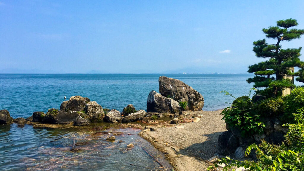
Images by Andy Penn
Ruta
218kmの距離を2~3日かけて走るのが一般的ですが、このサイクリスト・アンディは別の考えを持っていました。夏の気温が上昇する中、アンディはとてつもない力を発揮し、1日ですべてを終わらせました。
Distancia: 218km
Elevación: 1,184m
Acceso desde la ciudad de Kioto: Good
Ciclista
Andy Penn
Andy was in Kyoto for a short time during his trip and wanted to get out on the bike to tackle the Lake Biwa route. He had climbed Mt Fuji only a few days before but that didn’t seem to slow him down.
Strava profile >
市街を離れる
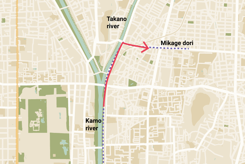
The route starts at the Kamo river which flows from north to south through Kyoto. It doesn’t matter where in Kyoto you start from, simply head to the Kamo river then start cycling north.
出町柳川の分岐を右手に進み、4ブロック先の右手にある御影通りに入ります。
御影通りから比叡山へ
There are a few ways you can get to Lake Biwa from the east side of Kyoto but the Sanjo dori which turns into Route #1 & Route #30 are two of the more popular access roads.
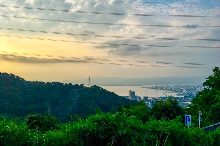
国道30号線は、京都で2番目に高い山である比叡山に繋がり、その標高の高さから琵琶湖を見渡すことができます。
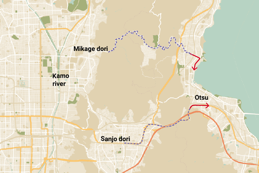
国道30号線は、三条駅から山麓までわずか6kmのバイパス道路で、京都市街や郊外から短時間のうちに離れることができます。
After winding through the mountain along the Shigagoe-michi (#30) for 5km or so, you’ll start getting a glimpse of the lake as you descend into Yanagasaki, which is the town on the lake.
琵琶湖ループ(びわいち)
From Yanagasaki you’ve got around 185km to get around and back to the intersection where the #161 meets the #30 which will take you back through the mountains to Kyoto.
1日、2日、または3日
Generally riders do the Lake Biwa loop over one, two or three days. If you are new to cycling or still building up your fitness we recommend doing it over two or three days.
注意しなければならないことは、湖の一部の地域では日没後に非常に暗くなり、適切なライトやギアなしでは、サイクリングは少し危険であるということです。
時間に余裕を持って目的地に到着するように乗車計画を立て、ゆっくりとご褒美のお酒や食事を楽しみ、温泉に浸かれると理想的ですね。
マキノ
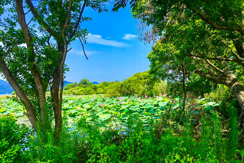
If you do stay a night, Makino in the north west is a beautiful little town with great swimming, water activities and access to the hills just to the north.
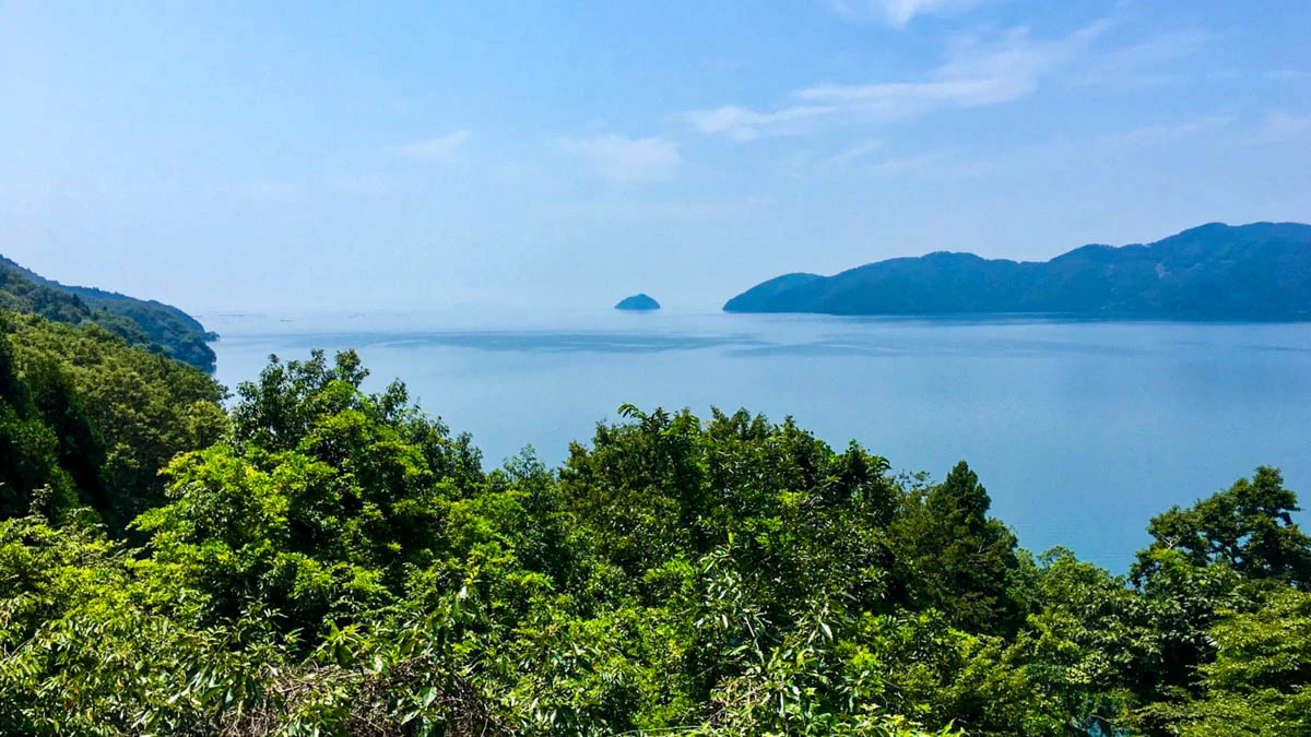
琵琶湖北部の山々はとても印象的で、北には日本海を、南には湖を見渡せる素晴らしい景色が広がっています。
The landscape is pretty rugged and it really does feel like you’re a world away from the commotion of Kyoto and Otsu.
どちら回りで進むか
There is a bit of debate about which direction is best but most people probably do the loop anti-clockwise, keeping the lake on their left for the ride. But, there can be strong head winds when doing this so some prefer to tackle the ride from a clockwise direction.
As you make your way around the Lake, you’ll have the option of riding the Fast path or the Slower path. The fastest paths mean cycling on the main roads, and the lakeside paths are a bit slower and more enjoyable.
Elevación
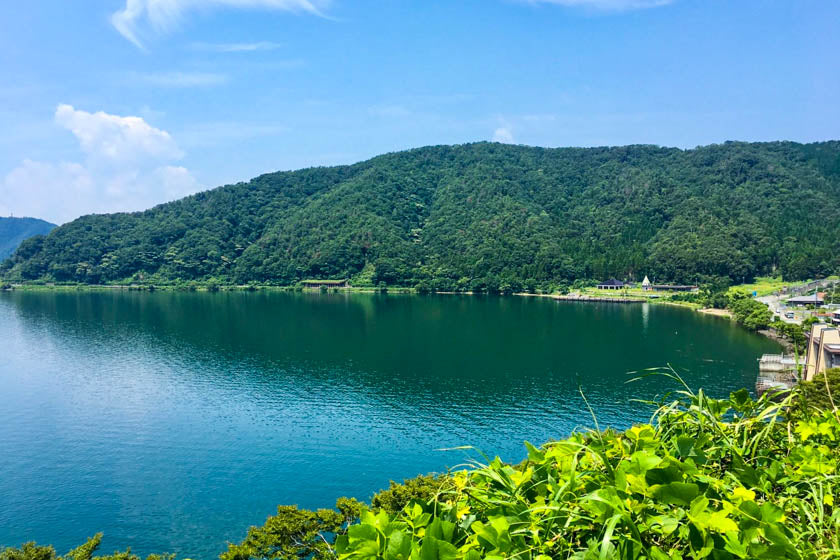
The ride around the lake is mostly flat except for the mountains in the north which suddenly dart up offering some excellent views and riding.
The climbing on this route is at the start and the end when going through the Mt Hiei range. The incline gets up to 13-14% and after riding 200km, we’re pretty impressed Andy got up and over the mountain again on his return to Kyoto.
観光スポット
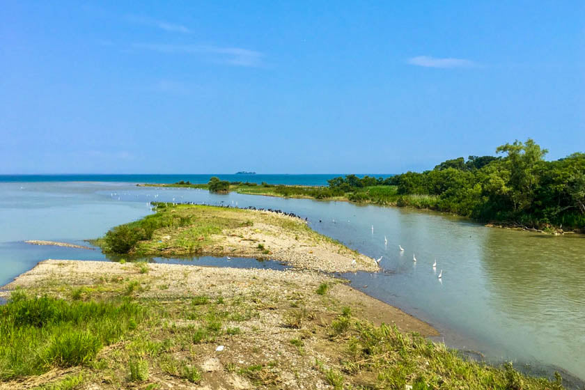
There is plenty to see on the ride with castles, lakeside towns, rugged mountain roads, shrines, temples and much more. For more details about the sights see the Shiga Biwako tourism sight from the below link.
Reflexiones finales
琵琶湖は自転車で散策するには最高の場所です。京都や大阪、奈良にも近いですが、北の方には別世界を感じさせるような辺境の地もあります。
In warm weather the lake is great for swimming giving ample opportunities to have a break from pedaling to cool off in the fresh water.
There are some areas with a lot of traffic, like in Otsu which is a very industrial area, but this only makes up a very small portion of the ride. Just remember it does get better.
This route definitely deserves some consideration when planning your cycling routes through Kansai.
サイクリングを楽しんで下さいね!
コンテンツはお役に立っていますか?コーヒーをご購入いただき、あなたの「ありがとう」を私達(RBRJ)にお伝えください。